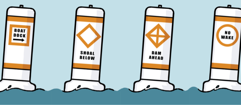
The Uniform State Waterway Marking System (USWMS) is a set of guidelines used to mark bodies of water like lakes, inland and coastal waterways. It’s designed to help boaters navigate.
The main goal of the USWMS is to provide markers that regulate and give information. These markers help boaters stay out of trouble, travel safely, find their way from place to place, and know where they are on the water.
The system uses specific white markers that have orange shapes on them. These geometric shapes, like circles or diamonds, give important information or regulations that boaters need to follow.
When it comes to waters completely within a state’s borders and not connecting to the sea, it’s up to that state to set up and look after these navigation aids. However, all states follow a uniform set of rules and markers so that there’s consistency no matter where you’re boating.
